
Indian Shores Maps
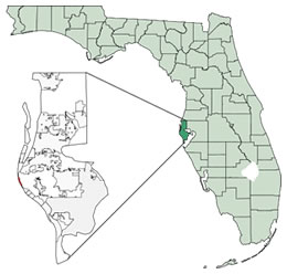 Indian Shores is located at 2751′2″N 8250′36″W / 27.85056N 82.84333W / 27.85056; -82.84333 (27.850668, -82.843407).
According to the United States Census Bureau, the town has a total area of 2.5 km (0.9 mi). 0.9 km (0.3 mi) of it is land and 1.6 km (0.6 mi) of it (64.21%) is water.
Indian Shores is neighbored by Indian Rocks Beach to the north and Redington Shores to the south. Gulf blvd. runs through Indian Shores north to south connecting Indian Shores to the neighboring beach communities.
The mainland can be reached by crossing the Indian Shores Bridge to the north or the Indian Shores bridge.
Indian Shores has four parks; Estelle Harper Park is located at 19305 Gulf Boulevard (Behind Town Hall), Town Square Nature Park is located at Gulf Boulevard & 191 Street, Tiki Gardens Park is located at the East Side of Gulf Blvd. Across from 196 Street and Mayor Bob McEwen Veterans Park is located at the east end of 197th Street.
View Larger Map |
Links to other maps
Indian Shores and Tampa Bay Nautical Chart